09/02/2024
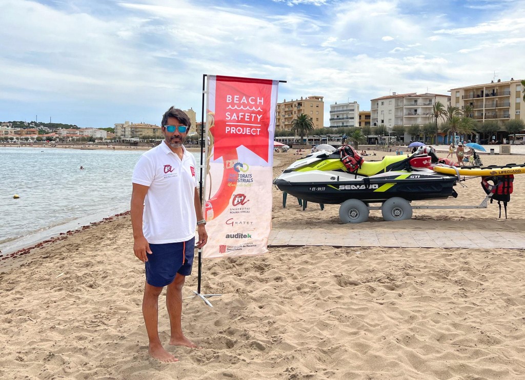
The project Beach Safety, one of the most innovative and with the most impact on society according to the Industrial Doctorate Plan
The URV doctoral student Pablo Martin has developed devices to improve the coordination, efficacy and rapidity of lifeguard services on Catalan beaches
The URV doctoral student Pablo Martin has developed devices to improve the coordination, efficacy and rapidity of lifeguard services on Catalan beaches
The initial aim of Pablo Martín, an industrial doctoral student at the URV, was to use a scientific perspective to improve and standardise the security and efficiency of lifeguard services. To this end, he developed innovative devices to improve coordination, increase the speed of response and effectively assign safety resources on Catalan beaches. The project is known as the Beach Safety project and has been included on the list published by the Department of Research and Universities of the Catalan government for 2023 of the most innovative initiatives with the most impact on society of the Industrial Doctoral Plan.
Pablo Martin identified shortcomings in the rescue and lifeguard services on Catalan beaches: there has been little progress over the last twenty years, there is no centralised system of coordination and management, there is a lack of precise information about the real needs of the region, some places are still without surveillance and there are no regulations governing the human and material resources to be allocated to every beach (instead every town council has its own criteria or bases the decision on the budget available).
As a member of the URV’s Research Group of Territorial Analysis and Tourism Studies (GRATET), and with the collaboration of Auditek, a technical consultancy firm specialised in managing water facilities and beaches, Martín started the project in 2020 with a comprehensive descriptive study of the rescue and lifeguard services from over 500 beaches on the Catalan coast. All the data are managed and analysed using a geographic information system which enables variables and models of service management to be developed.
For example, a heat map can be used to identify the points on beaches with most incidents in real time, a considerable improvement on the traditional lists of incidents resolved by lifeguards. In this regard, the app Infoplatges enables incidents to be georeferenced and extends the possibilities of data analysis, since it gives detailed information on densities, distances, response times, and the equipment and resources used.
These scientific contributions make it possible to improve the allocation of resources and develop surveillance models based on variables such as beach occupation and density of incidents. For example, it can calculate how many lifeguard towers and lifeguards are needed, and where they should be located for greater efficiency and faster response. This app is already being used on some beaches, where a significant improvement in lifeguard services is expected.
The data collected and analysed in this project will also help to improve the management of beach surveillance budgets, which nowadays depend more on the economic capability of the local councils than on the real needs of the beaches. In some cases, for example, crowded beaches that belong to a small town council have insufficient lifeguard services or none at all. If data is made available, it is easier to know which resources and how many need to be assigned to each beach, particularly if there are standard supramunicipal regulations throughout the region.
